
Mapping Europe—from Their Seats!
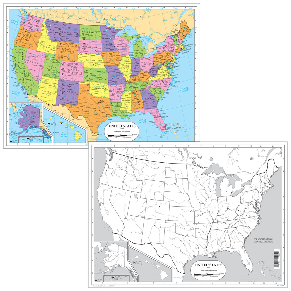
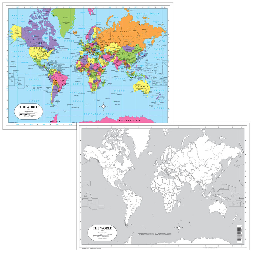
Color in red the countries that identified with the Axis Powers in WWII. Color in blue the countries that identified with the Allied Powers. Instruct students to identify and label locations on a map, then erase and repeat! Dry-erase desk maps make any mapping activity easy and efficient with a double-sided political map and a blank outline map.
©2008. All levels. 17 x 12 inches. Laminated.
Write a review


Good product
Apr 16, 2022 | By Jason Owen
Product is of good quality and fit my needs.
Good product
Apr 17, 2022 | By Jason Owen
The maps were of good size and fit the purposes well